
|
|
Europe
|
 |

|
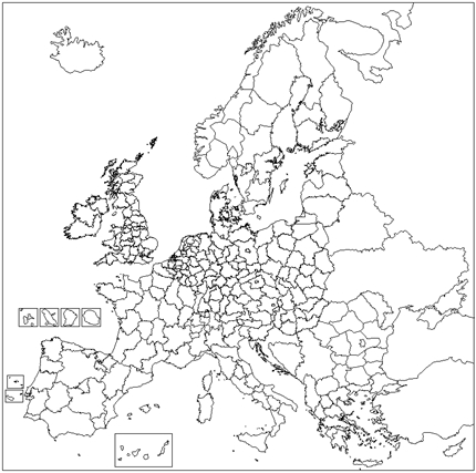
European Union and associated countries 2016/2019
(Source Eurostat)
Territorial level : Europe groups of countries
Calques :
NUTS0 (pays) - NUTS1 (grandes régions) - NUTS2 (régions) - NUTS3
(provinces ou départements)
Go to the library by a click on the
red button...
|
|
|
|
|
|
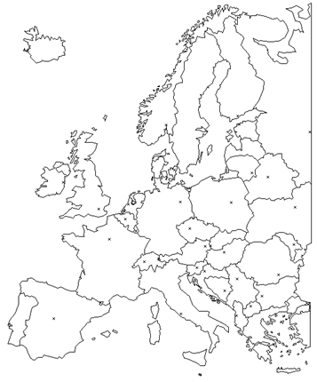
Europe 2000 States
Territorial level : Europe
Layers :
States - capitals
|

|
|
European Union
|
|
|
European Union 2013 (28 States)
Territorial level : Union Européenne
Layers :
NUTS 0 (States) - NUTS 2 (Regions)
|

|
|
Germany
|
 |
|
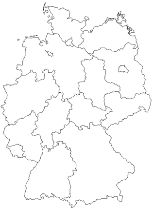
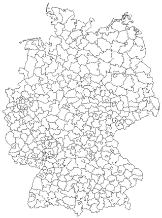
Germany 2012
Territorial level : Germany
Layer :
Länder
(states)
|
|
|
|
 |
|
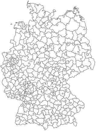
Germany 2012
Territorial level : Germany
Layers :
Kreise (circles) - Länder (states)
|
|
|
|
 |
|
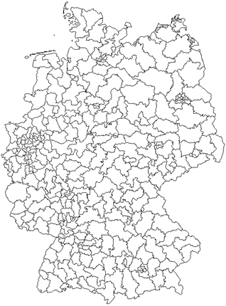
Germany 1997
Territorial level : Germany
Layers :
Kreise (circles) - Länder (states) |
|
|
|
 |
|
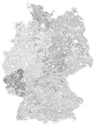
Germany 2011
Territorial level : Germany and Länder (states)
Layers :
Gemeinden (communes) -
Regierungsbezirke (administrative districts) -
Kreise (circles) - Länder (states)
Go to the library by a click on the red button...
|
|
|
|
 |
|
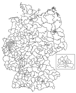
Germany 2009
Territorial level : Germany
Layers :
Wahlkreise (legislative districts) -
Länder (states)
|
|
|
|
 |
|
Germany 2017
Territorial level : Germany
Layers :
Wahlkreise (legislative districts) -
Länder (states)
|

|
|
Belgium |
 |
|
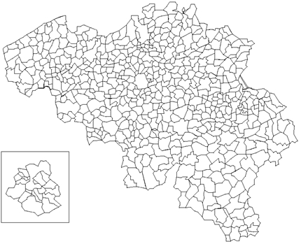
Belgium 1991
Territorial level :
Belgium
Layers :
Communes - regions
|
|
|
|
 |
|
Belgium 2005
Territorial level :
Belgium
Layers :
Communes - districts -
provinces - regions
|
|
|
|
 |
|
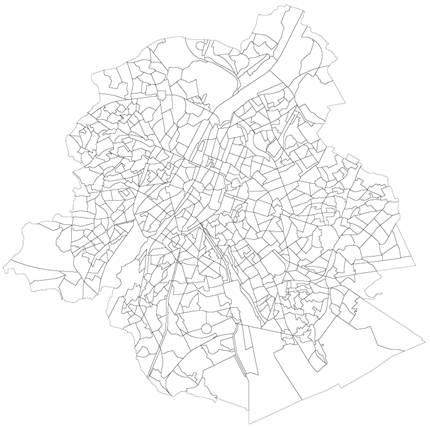
Brussels 2005
Territorial level :
Brussels
Layer :
Sectors
|

|
|
Spain
|
 |
|
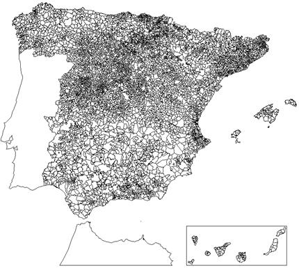
Spain 1999
Territorial levels : Spain,
autonomous communities (CCAA)
Layers :
Municipios (communes) - Comarcas 1999 - Comarcas Caja España -
Provincias - CCAA
Go to the library by a click on the red button...
|
|
|
|
 |
|
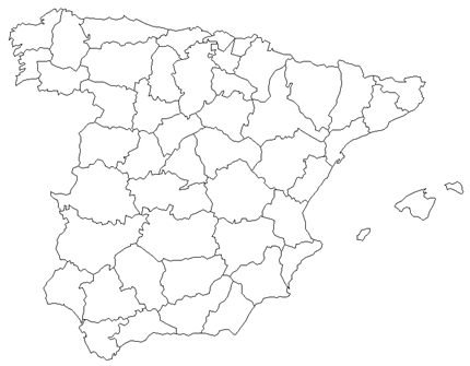
Spain 1996
Territorial level : Spain
Layer :
Provinces
|

|
|
Hungary
|
 |
|
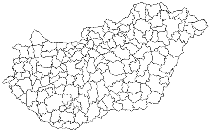
Hungary 2001
Territorial level : Hungary
Layers :
Kisterseg - comitats
|

|
|
Italy
|
 |
|
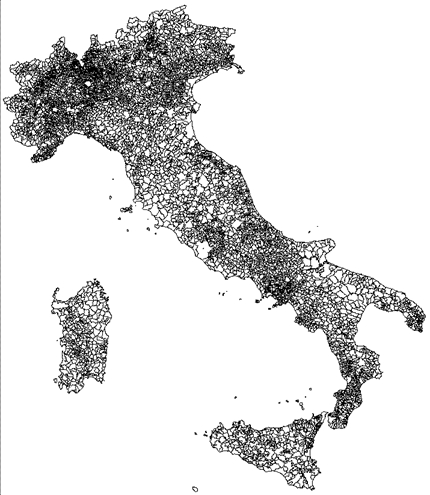
Italy 2010
Territorial levels : Italy,
great regions, regions
Layers :
Communes - provinces - regions -
great regions (ripartizione)
Go to the library by a click on the red button...
|
|
|
|
 |
|
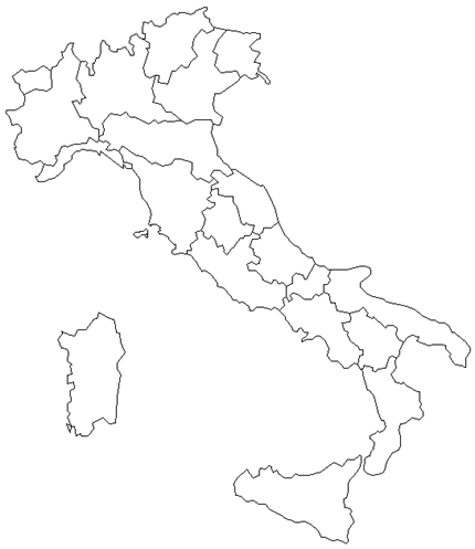
Italy 1998
Territorial level : Italy
Layer :
Regions
|
|
|
|
 |
|
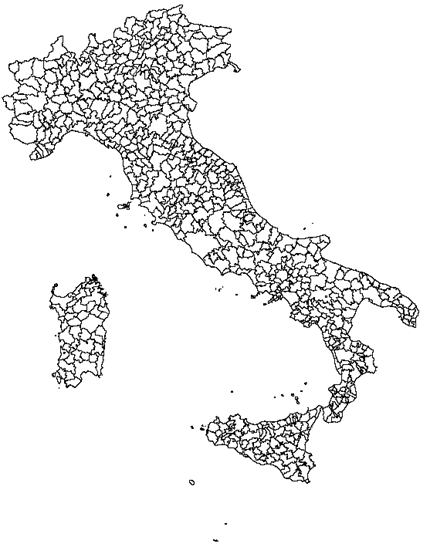
Italy 1991 and 2001
Territorial level : Italy
Layer :
Sistemi locali del lavoro 1991 and 2001 |
|
|
|
 |
|
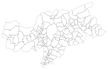
Italy
Territorial level : Alto Adige (south Tirol)
Layer :
Communes
|
|
|
|
 |
|
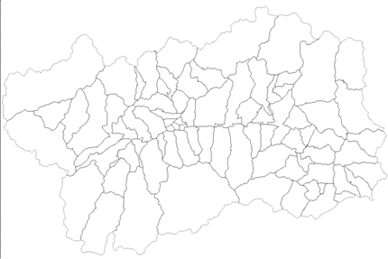
Italy
Territorial level : Vale d'Aoste 1999
Layer :
Communes
|

|
|
Luxemburg
|
 |
|
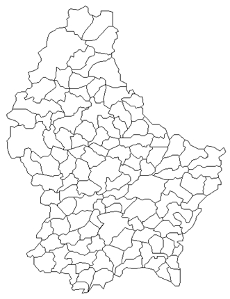
Luxemburg 1998
Territorial level :
Luxemburg
Layer :
Communes - cantons
|

|
|
North
Macedonia
|
 |
|
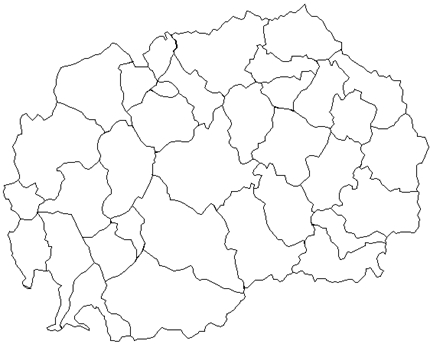
North Macedonia 1995
(former republic of macedonia)
Territorial level : North Macedonia
Layer :
Obcine
(communes) |

|
|
Poland |
 |
|
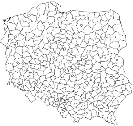
Poland 2010
Territorial level : Poland
Layers :
Districts - sub-regions - regions |

|
|
Portugal
|
 |
|
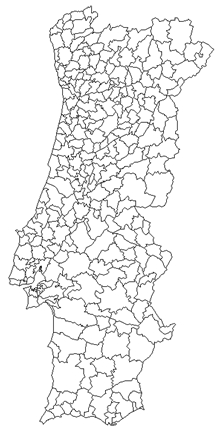
Portugal
Territorial level : Portugal
Layers :
Communes - provinces
|
|
|
|
 |
|
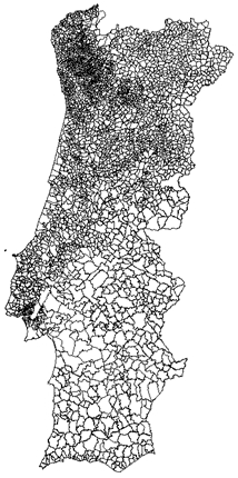
Portugal 2011
Territorial levels :
Portugal, regions
Layers :
Freguesias (parishes) - communes -
NUTS3 - NUTS2
Go to the library by a click on the red button...
|

|
|
Russia |
 |
|
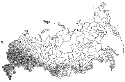
Russia
Territorial level : Russia
Layers :
Rayons (circles) - oblasts (regions) |

|
|
Romania |
 |
|
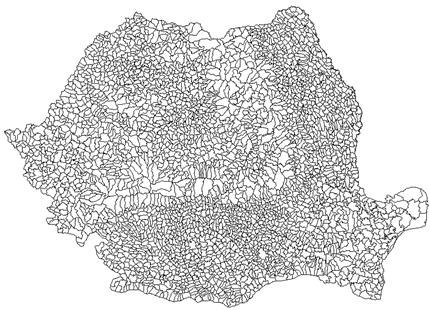
Romania 2011
Territorial levels :
Romania , macro-regions, regions, departments
Layers :
Communes - departements - regions
-
macro-regions
Go to the library by a click on the red button...
|

|
|
Slovenia |
 |
|
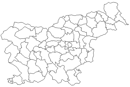
Slovenia 1991
Territorial level : Slovenia
Layer :
Obcine
(communes) |
 |
|
Sweden
|
 |
|
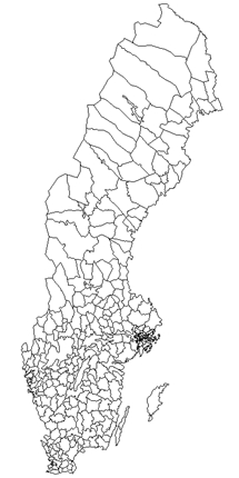
Sweden 1997
Territorial level : Sweden
Layers :
Communes - regions
|

|
|
Switzerland
|
 |
|
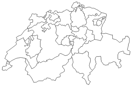
Switzerland 2000
Territorial level : Switzerland
Layers :
Communes - regions
|
|
|
|
 |
|
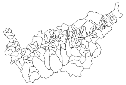
Canton of Valais 1996
Territorial level : Canton of Valais
Layer :
Communes
|
|
|
|
 |
|
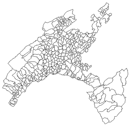
Canton of Vaud 1996
Territorial level : Canton of Vaud
Layer :
Communes
|
|
|
|
