
|
|
Europe
|
 |

|
European Union and associated countries 2016
(Source Eurostat)
Territorial level : Europe
Layers :
NUTS0 (countries) - NUTS1 (great regions) - NUTS2 (regions) - NUTS3
(provinces or departments) |
         |
|
Scandinavia
and Baltic Sea countries |

|
|
Germany (northern part), Poland (northern part), Lithuania, Latvia,
Estonia, Finland, Norway, Denmark
Territorial level : these countries are drawn on the same base map.
Layers :
NUTS0 (countries) - NUTS1 (great regions) - NUTS2 (regions) - NUTS3
(provinces or departments) |
   |
|
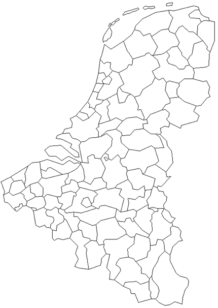
BeNeLux |
 |
|
Belgium, Netherlands, Luxembourg
Territorial level : these countries are drawn on the same base map.
Layers :
NUTS0 (countries) - NUTS1 (great regions) - NUTS2 (regions) - NUTS3
(provinces or departments)
|
  |
|
British
Islands |
 |
|
Eire, United Kingdom
Territorial level : these countries are drawn on the same base map.
Layers :
NUTS0 (countries) - NUTS1 (great regions) - NUTS2 (regions) - NUTS3
(provinces or departments) |
 |
|
France |
 |
|
France
Territorial level : France
Layers :
NUTS0 (countries) - NUTS1 (great regions) - NUTS2 (regions) - NUTS3
(provinces or departments) |
  |
|
Iberian
Peninsula |
 |
|
Spain, Portugal
Territorial level : these countries are drawn on the same base map.
Layers :
NUTS0 (countries) - NUTS1 (great regions) - NUTS2 (regions) - NUTS3
(provinces or departments) |
 |
|
Germany,
Austria |
 |
|
Germany, Austria
Territorial level : these countries are drawn on the same base map.
Layers :
NUTS0 (countries) - NUTS1 (great regions) - NUTS2 (regions) - NUTS3
(provinces or departments) |
     |
|
Eastern
countries |
 |
|
Former German Democratic Republic, Poland, Czech Republic, Slovakia,
Hungary, Romania, Bulgaria
Territorial level : these countries are drawn on the same base map.
Layers :
NUTS0 (countries) - NUTS1 (great regions) - NUTS2 (regions) - NUTS3
(provinces or departments)
|


 |
|
Italy,
Balkans |
 |
|
Italy, Slovenia, Croatia, Serbia, Bosnia- Herzegovina, Kosovo,
Montenegro, Albania, Northern Macedonia, Greece, Malta, Cyprus,
Turkey (western Part)
Territorial level : these countries are drawn on the same base map.
Layers :
NUTS0 (countries) - NUTS1 (great regions) - NUTS2 (regions) - NUTS3
(provinces or departments) |
|
|
|
Turkey |
 |
|
Turkey
Territorial level : Turkey
Layers :
NUTS0 (countries) - NUTS1 (great regions) - NUTS2 (regions) - NUTS3
(provinces or departments) |
|
|
|
