Base maps : Italy 2010
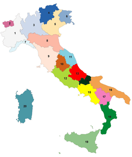
All Italy, by Large Regions (Ripartizione) and by Regions
Territorial division 2010
Layers : Communes , Provinces, Regions, Large Regions (Ripartizione)
Source : National Statistics Institute, ISTAT - Municipal digital mesh : ISTAT
Licence to use
-
All download files are compressed in .zip format.
They must be unzipped before any use.
Click on a red button to download the file...
     
Italy,
Large Regions and Regions
   
Button Text Italy
Button Text A. North-West
Button Text 1. Piedmont
Button Text 2. Aoste Valley /Valle d'Aosta
Button Text 3. Lombardy
Button Text 7. Liguria
Button Text B. Nord-East
Button Text 4. Trentino-Alto Adige/South Tyrol
Button Text 5. Venetia
Button Text 6. Friuli-Venezia Giulia
Button Text 8. Emilia-Romagna
Button Text C. Center
Button Text 9. Tuscany
Button Text 10. Umbria
Button Text 11. Marche
Button Text 12. Lazio
3. South Button Text
13. Abruzzo Button Text
14. Molise Button Text
15. Campania Button Text
16. Apulia Button Text
17. Basilicata Button Text
18. Calabria Button Text
5. Islands Button Text
19. Sicily Button Text
20. Sardinia Button Text
   
These base maps are intended to represent statistical data and only for that.
No guarantee is given concerning the precision of the contours of the statistical and administrative entities, the location of the towns,
scale, international borders, etc. You are not authorized to redistribute copies of the downloadable files on this page.

Flags icons :  http://www.icondrawer.com/