|
|
| - |

|
|
All download files are compressed in .zip format.
They must be unzipped before any use. Click on a red button to download the file... |
 |
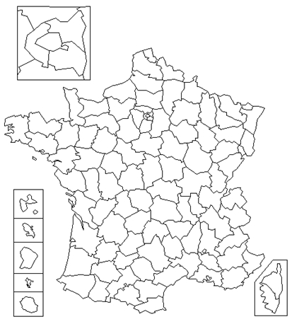
France | |
 |
|
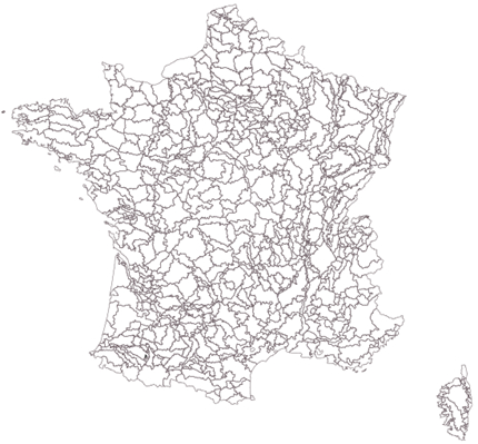
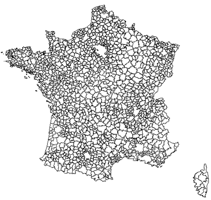
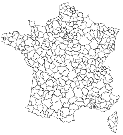
France 2023 : base maps compatible with
the 2020 INSEE census published in june 2023 Territorial levels : France, regions 2016, Departments Layers : Communes - Cantons/cities (INSEE definition) - Districts - Departments - EPCI 2023 - Living areas Go to the library by a click on the red button... |
|
|
|
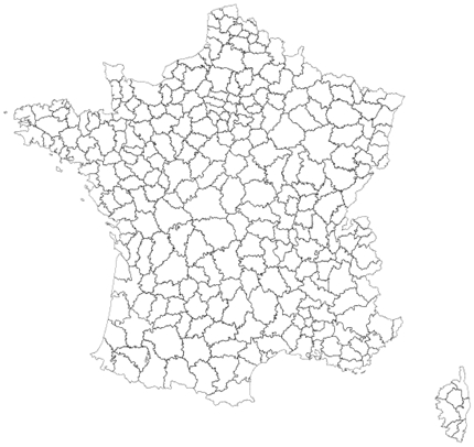
France 2020 : base maps compatible with
the 2017 INSEE census
Territorial levels : France, regions 2016, Departments Layers : Communes - Cantons/cities (INSEE definition) - Districts - Departments - EPCI 2017 - Living areas - Employment areas 2010 Go to the library by a click on the red button... |
 |
|
France (mainland) 2015 : grid 1000m Territorial levels : Regions 2016, Departments Layers : Grid 1000m - Communes - Departments - Regions 2016 Go to the library by a click on the red button... |
|
|
|
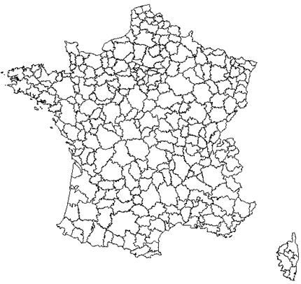
France (mainland) 2018 : base maps compatible with
the 2016 INSEE census Territorial levels : France, Departments, Regions 2016 Layers : Communes - Districts - Departments - EPCI 2018 Go to the library by a click on the red button... |
|
|
|
France (mainland) 2017 : base maps compatible with
the 2015 INSEE census
Territorial levels : France, Departments, Regions 2016 and 1970 Layers : Communes - Cantons/cities (INSEE definition) - Districts - Departments - EPCI 2017 - Living areas - Employment areas 2010 Go to the library by a click on the red button... |
 |
|
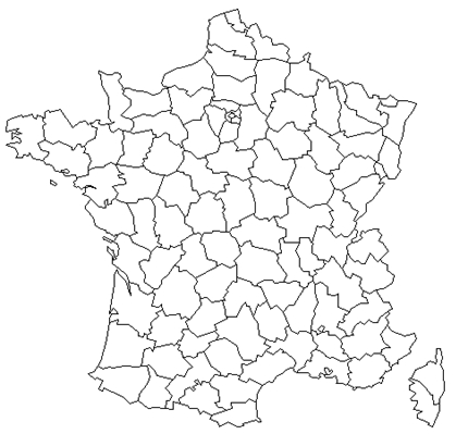
Regions and departments
Territorial level : mainland France + French overseas departments Layers : Regions 2016 and Regions 1970 - Departments |
 |
|
Regions and departments Territorial level : France (mainland) Layers : Regions 2016 and Regions 1970 - Departments |
 |
|
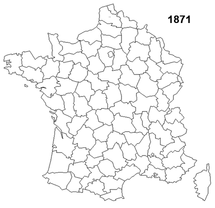
Departments Historical divisions 1790, 1791, 1793, 1797, 1798, 1800, 1808, 1810, 1811, 1814, 1815, 1860, 1871, 1919, 1947, 1964, 1968, 1975 Territorial level : France (mainland) Layers : Departments See the site : http://fondsdecarte.free.fr/ France/depts/depts.html |
 |
|
Agricultural regions and Small agricultural regions 2007 Territorial level : France (mainland) Layers : Agricultural regions - Small agricultural regions - Regions - Departments update : june 2021 |
 |
|
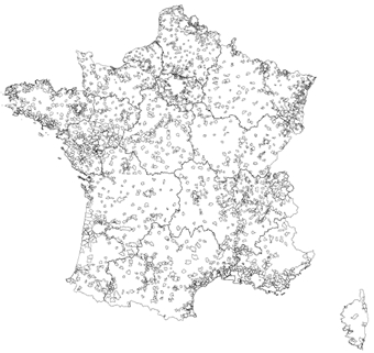
Urban units 2020 Territorial levels : France (mainland), Regions 2016 Layers : Urban units - Regions 2016 - Departments Go to the library by a click on the red button... novelty : july 2021 |
 |
|
Cities' attraction areas 2020 Niveau territorial : France (mainland) Calques : Attraction areas - Communes - Regions 2016 - Departments novelty : june 2021 |
 |
|
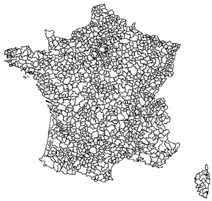
Public inter-municipal cooperation Authorithy EPCI 2018 Territorial level : France (mainland) Layers : EPCI - regions 2016 - departments |
 |
|
Living areas
INSEE 2012 Territorial levels : France (mainland), regions 1970 Layers : Living areas - regions 1970 - departments |
 |
|
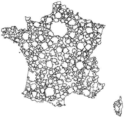
Employment areas 2020 Territorial level: France (mainland), Regions 2016 Layers : Employment areas - Regions 2016 - Departments Go to the library by a click on the red button... novelty : june 2021 |
 |
|
Employment areas 2010 Territorial level: France (mainland) Layers : Employment areas - Regions 1970 - Departments |
 |
|
Employment areas 2010 Territorial level: France (mainland) + French overseas departments Layers : Employment areas - Regions 1970 - Departments |
 |
|
Employment areas 1983 Territorial level : France (mainland) Layers : Employment areas - Regions 1970 |
 |
|
Districts for legislative elections 2002
Territorial level : France (mainland) Layer : Districts for legislative elections |
 |
|
Districts for legislative elections 2012
Territorial levels : France (mainland) + Overseas France + Foreign countries, regions 1970, Paris and its surrounding suburbs Layers : Districts for legislative elections - Regions 1970 - Departments |
 |
|
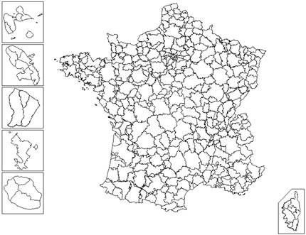
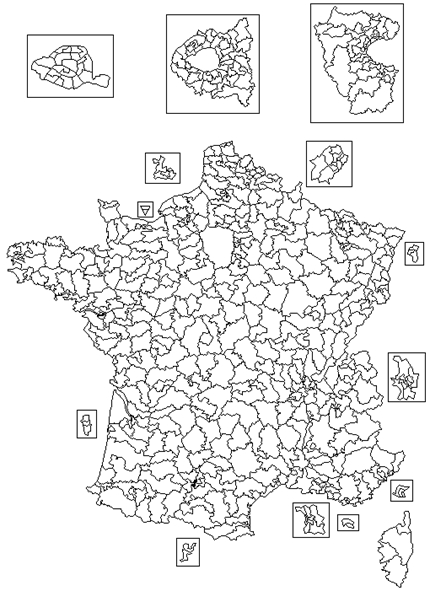
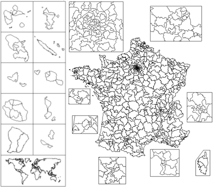
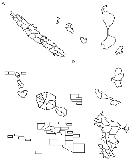
Overseas France Territorial levels : all overseas department and territories, New-Caledonia, French polynesia, St. Peter and Miquelon, Wallis-and-Futuna Layer : Communes Note : territories are on different scales on the map. |
 |
|
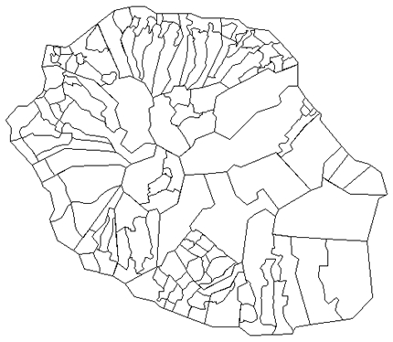
La Réunion
Territorial level : La Réunion Layer : Micro-regions, Neighborhoods, Communes |
 |
|
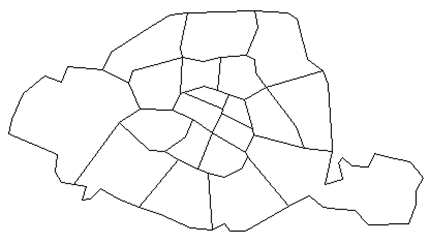
Paris
Territorial level : city of Paris Layer : Districts |
 |
|
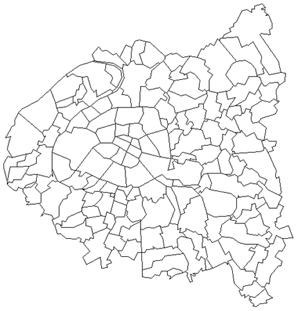
Paris and its surrounding suburbs
Territorial level : Paris and its surrounding suburbs Layers : Communes and Districts |
 |
|
The 22 Metropolis of France in 2018 Territorial level : Metropolis Layers : Communes and IRIS Go to the library by a click on the red button... |
 |
|
The 22 Metropolis of France in 2018 Territorial level : Metropolis Layers : Grid, communes and IRIS Go to the library by a click on the red button... |
|
These base maps are intended to represent statistical data and only
for that. No guarantee is given concerning the precision of the contours of the statistical and administrative entities, the location of the towns, scale, international borders, etc. You are not authorized to redistribute copies of the downloadable files on this page. |
Flags icons : http://www.icondrawer.com/