
|
|
Africa
|

|

|
Africa 2016
Territorial level : Africa
Layer :
Countries
|

|
|
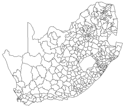
South-Africa
|
|
|
South Africa 1991
Territorial level : South Africa
Layers :
Districts - provinces
|

|
|
Algeria
|

|
|
Algeria 1998
Territorial level : Algeria
Layers :
Communes of Sahara - wilayat
|

|
|
Burkina Faso
|

|
|
Burkina Faso
Territorial level : Burkina Faso
Layers :
Departments - regions
|

|
|
Ivory Coast
|

|
|
Ivory Coast 1988
Territorial level : Ivory Coast
Layer :
Sub-prefectures |

|
|
Gambia
|

|
|
Gambia
Territorial level : Gambia
Layers :
Districts - regions
|

|
|
Malawi
|
 |
|
Malawi
Territorial level : Malawi
Layer :
Provinces
|

|
|
Madagascar
|

|
|
Madagascar 2000
Territorial level : Madagascar
Layer :
Districts
|
|
|
|

|
|
Madagascar 2011
Territorial level : Madagascar
Layer :
Districts - regions - provinces |

|
|
Mozambique
|

|
|
Mozambique 1997
Territorial level : Mozambique
Layers :
Administrative posts - districts - provinces
|

|
|
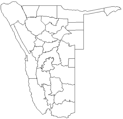
Namibia |
|
|
Namibia
Territorial level : Namibia
Layer :
Provinces
|

|
|
Senegal |

|
|
Senegal
Territorial level :
Senegal
Layers :
Departments - regions
|

|
|
Tunisia |

|
|
Tunisia 2013
Territorial level : Tunisia
Layers :
Gouvernorates - regions
|
|
|
|
